It was raining the morning we left Point Magu, January 9th. I worked while Ben broke camp. We headed north on 101, not thinking too much about the rain. That’s a normal thing in Connecticut. Of course, we weren’t in Connecticut. And what we didn’t realize was this was an unusual storm with massive amounts of rain for the area. One article I read said LAX saw 5 inches of rain in the winter of 2020-2021. It recorded 5 inches in two weeks in January. (Groton averages about 4 inches a month, so 5 inches in 2 weeks is cause for comment but not altering travel plans or hunkering down. If you haven’t noticed, I’m setting the stage.)
What we didn’t realize was the Governor had already declared a state of emergency for the areas to where we were traveling. And we didn’t know that they were advising evacuations along Santa Barbara. If only we’d known, or thought to check! Ce la vie.
An hour into our drive we hear the emergency broadcast signal and hear evacuation notices for several places. Not being familiar with any of them, I focused on one to look up – Montecito. That happened to be just east of where we were. The GPS wanted us to take another route, up 154. A lesson we’ve been learning this trip – ALWAYS scout the routes Google wants us to take. Several are not fun towing a 29′ trailer. 154 would have been ok, however, the on-ramp to it was closed. We continued on, and Google gave us another route. San Marcos Rd. Here’s a fairly benign shot of it:
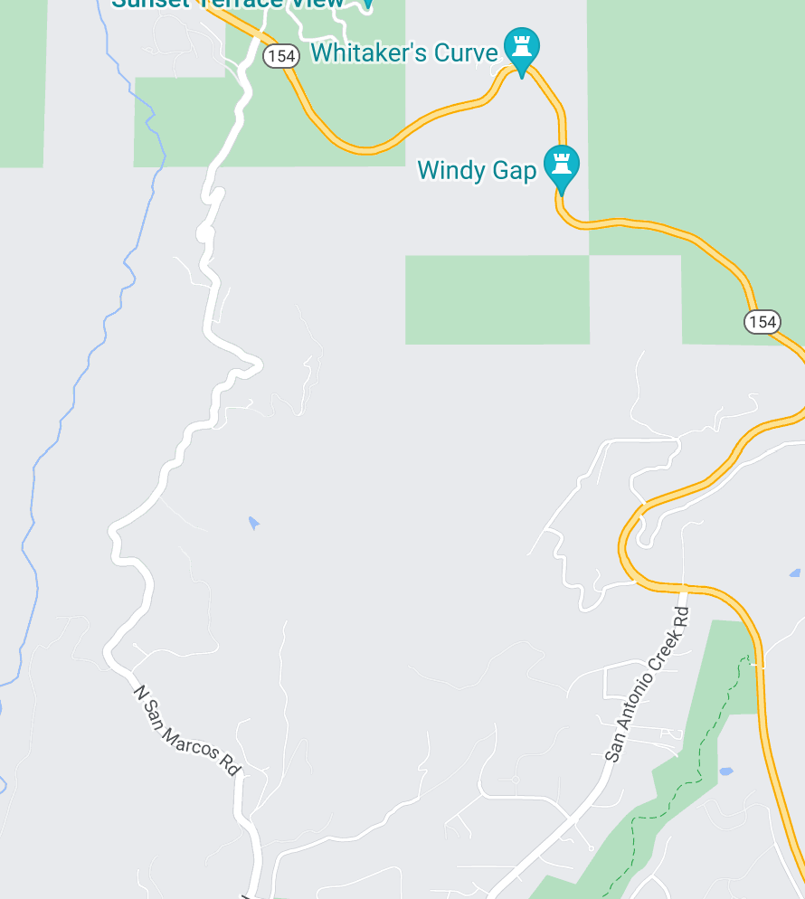
Benign until you look at the top of the image.
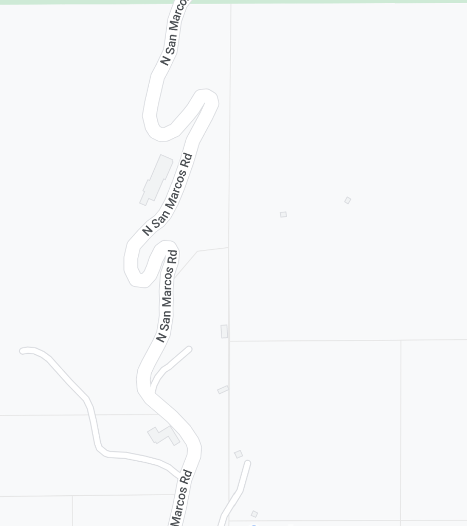
Those. Towing a trailer. In a torrential down pour. With boulders in the road. The posted speed limit around those switchbacks was 5. We make it to to the 154 intersection to find CHP there. 154 has been closed completely. Yep, we can either park and hang out there or go back down San Marcos Rd. We made it, but we will never cross roads around terrain without first looking very closely at the satellite images. No photos of that drive, I was too busy clutching my computer to my chest. (Oh yes, I had been working up until this time.)
We got back on 101 and continued north. We saw a lot of red near Gaviota and road closures north of it. We got close, but it was getting late. We were trapped. We decided to find a place to park, hoping the rain would clear out and the roads would open up. We parked at the Arroyo Hondo Vista Point, ended up staying the night with several other travelers.
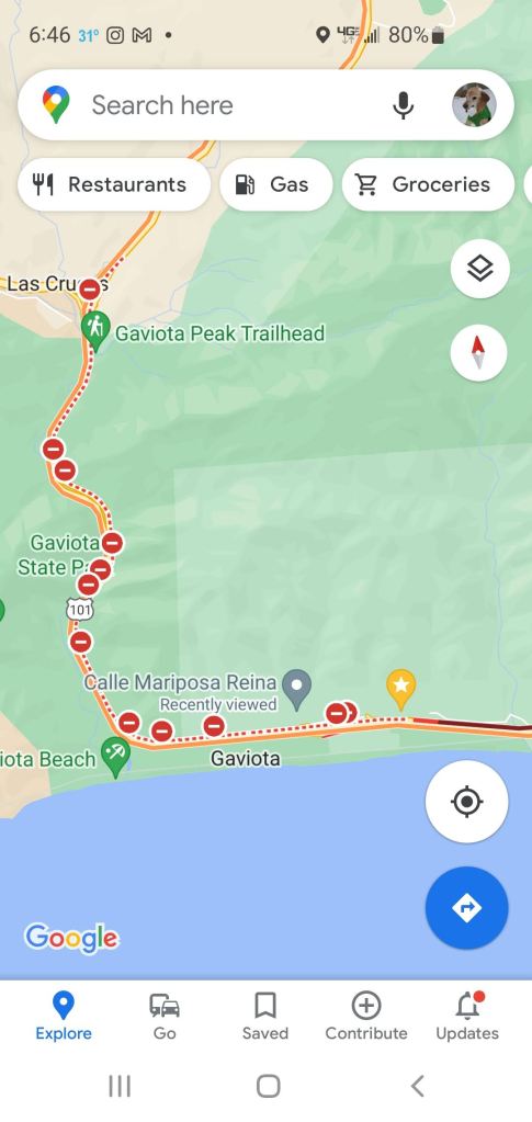
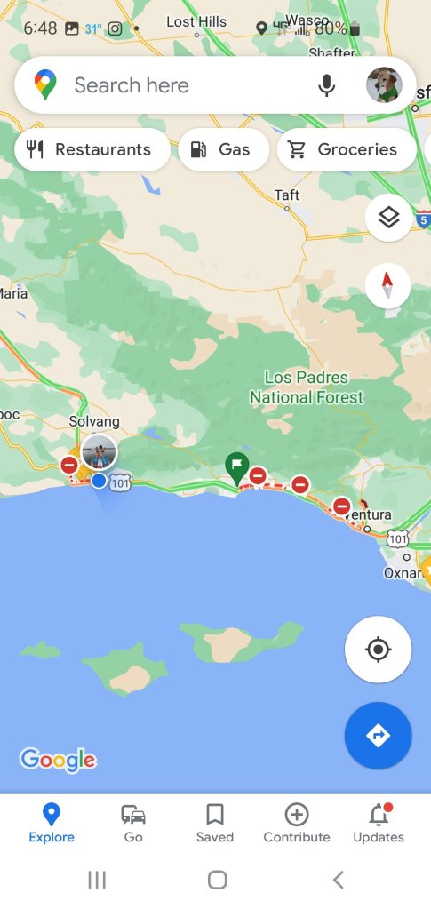
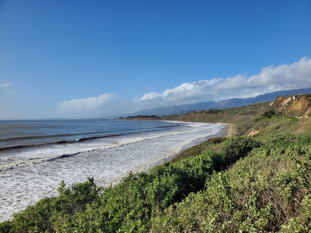
We got up early the next morning having given up getting to Vandenburg AFB. We were so close! Yet no way to get there without going south all the way back to the 5. We tried all the routes we could to get through Santa Barbara and by closures on 101. We finally gave up when we could go no farther south, and found parking at Rincon Beach County park. The rain finally stopped, and it was a gorgeous day.
We talked to the park ranger who gave us the CHP number to call for road closures. We headed out just before 5, went back to 126–almost right back to Point Magu–and cut over to the 5. We found a rest area just north of Bakersfield and stayed the night. The RV park at Monterey was able to get us in a day early, so we headed there the next morning. We were still hopeful we could finish up our trip along the California coast…
