I never made it over to Joshua Tree National Park while I lived in San Diego, and it’s been on my bucket travel list for quite a while. I was very excited to finally get there. We stayed a few nights just outside the park on Bureau of Land Management (BLM) land in dispersed camping.
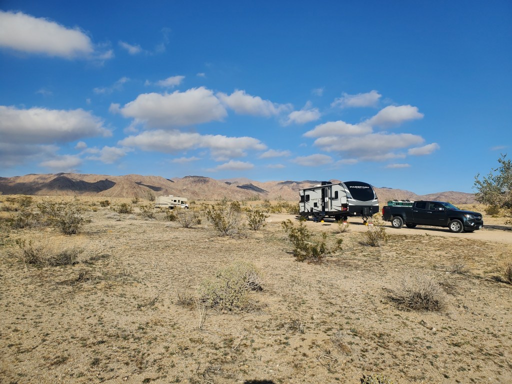
If you’re a tent camper, or don’t mind boondocking in your RV, you should look into BLM areas on your trips, especially out west. We stayed by the southern entrance to JT for free, and our closest neighbors were over 100′ away. We had a beautiful view and it was very quiet. Freecampsites.net has BLM areas listed along with other spots. It’s not the most user-friendly site, but it can be very useful.
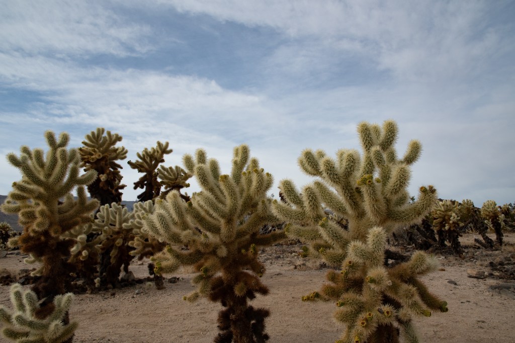
We relaxed the first day we got there. The weather was gorgeous. We found the more popular portion of the park is the northern end, near 29 Palms. The drive is about an hour through the park. JT spans two deserts: Mojave to the north and Colorado to the south. It was fairly easy to see the difference between the two deserts with the landscape. I thought the Colorado had a lot more plant life, but the Joshua trees were in the Mojave desert portion of the park. Vegetation was present in the Mohave but more spread out. The photo below was at the Cholla Garden.
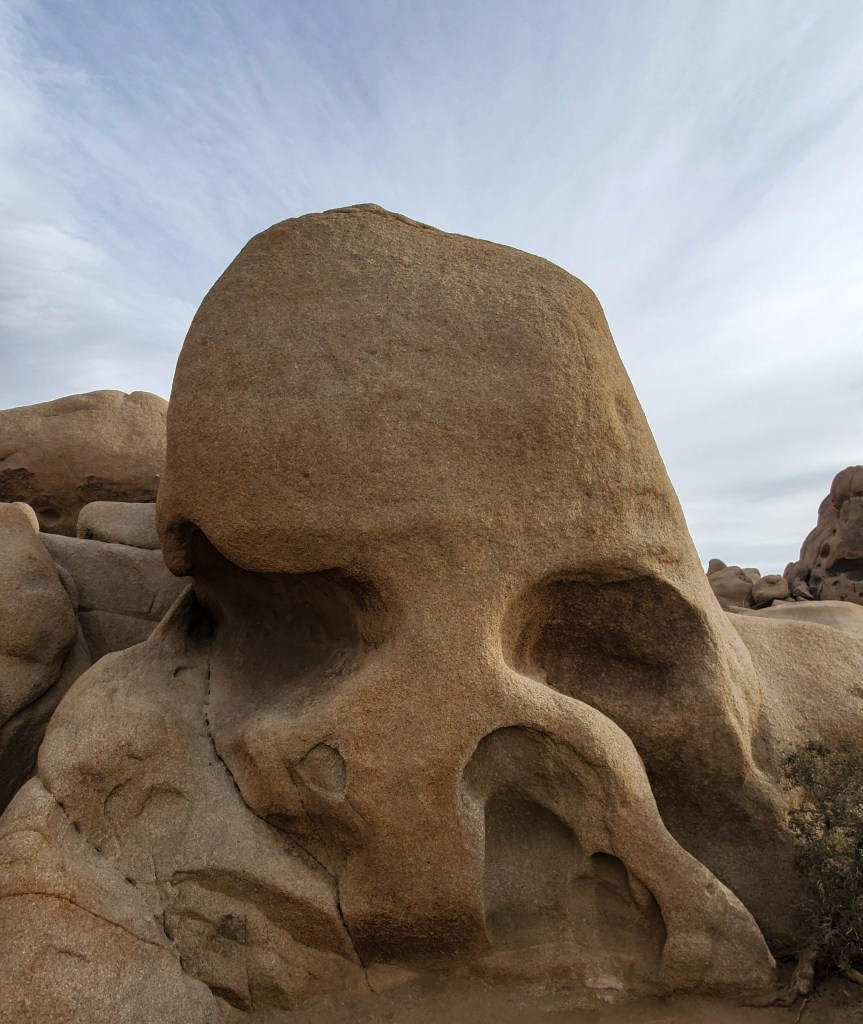
We ventured into the northern section of the park the second day we were there. This is where all the tourists are. We hiked skull rock, finally saw a Joshua tree!, and drove up to the Keys view area. Saying the park was packed in those spots is an understatement. There were so many people! I say we drove up to the keys view area because we couldn’t find a parking spot. We stopped at a vista point a little farther down to see the valley. It was many more people than I want to see in a vast desert landscape.
The third day we spent in the more remote area. We stopped at a mill site that had nothing left. Why it’s marked on Google maps is a mystery to me.
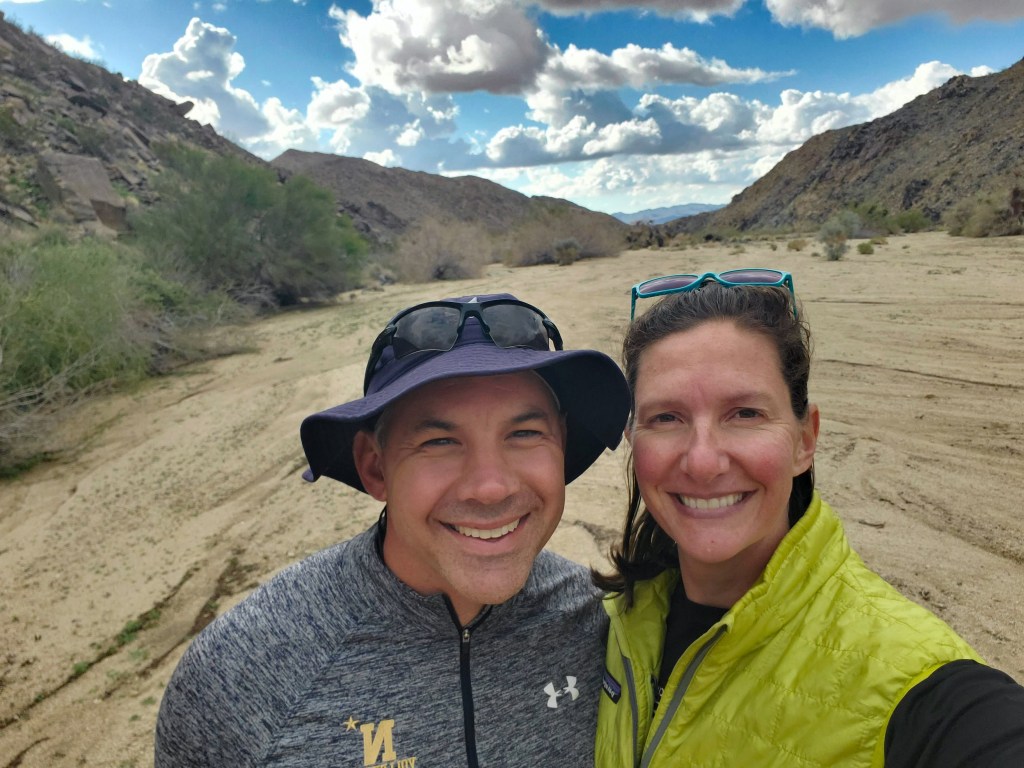
We hiked another area in the Colorado part of JT. We lost the trail very quickly–there were several cleared pathways that looked like they were from stormwater runoff. With no footprints to follow, one path merged into the others. We headed in the direction we thought the trail was, but we never found it again. We ended up turning around back to the car–the nice thing about hiking in a flat desert: you can see far. It wasn’t difficult to find our way back.
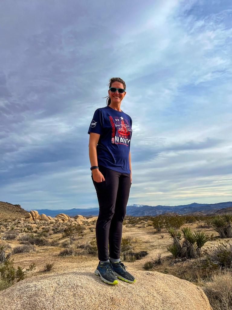
I look like I’m standing at attention there. I’m pretty sure my hands were cold; the wind was blowing pretty good.
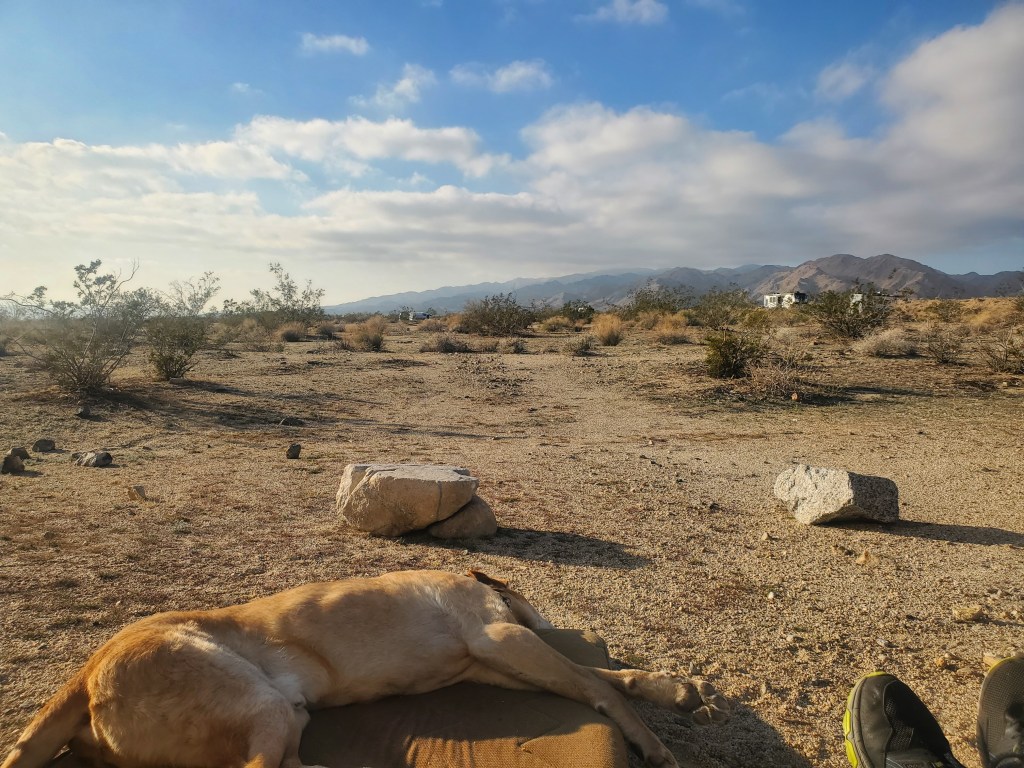
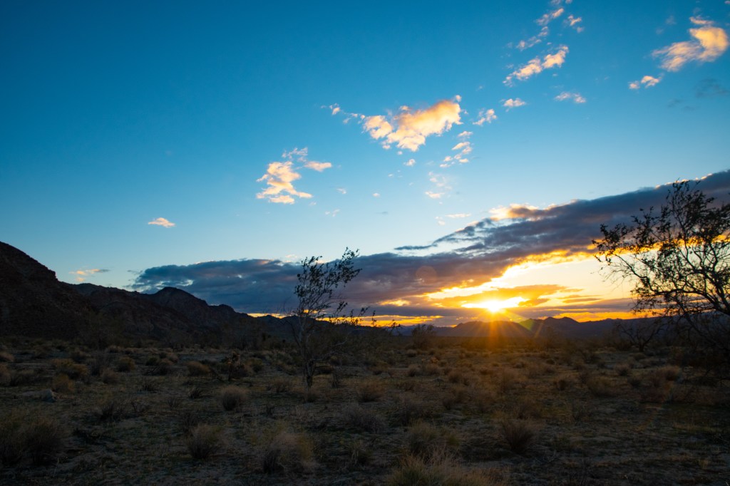
I tried each morning to get a good sunrise photo, but I wasn’t willing to drive half an hour to get to the flatter area. It was pretty overcast where we were. So…Ben won the sunrise photo this go around by staying at the campsite.
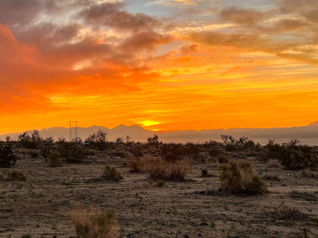
This is the best I had below.
One more national park down, I can check Joshua Tree off the list.
